


The solar industry is growing at an exponential rate with over 1000 GW of capacity across the globe. With this immense pace of installation, the industry certainly requires maintenance at all proximities to avoid underperformance and ensure a high expectancy rate from the plant. This is where Maintenance and Operations Teams (O&M) sew up.
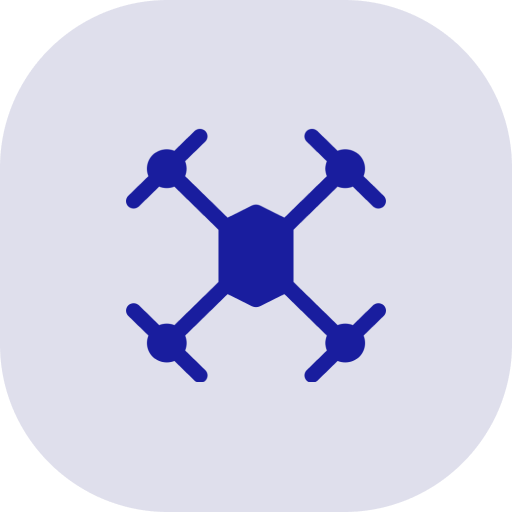
In the photovoltaic (PV) solar industry, which experiences double-digit annual growth, drone inspection has become an effective and efficient way to analyze PV assets ranging from utility-scale power plants to community and industrial installations. O&Ms either have a drone setup themselves or have outsourced it. The solar industry has certainly understood the value of this high-end technology and its numerous benefits.
With a deep-seated enthusiasm for technology and a resolute commitment to supporting various industries, the renewable energy sector is experiencing a surge in the utilization of Drone Surveys. It is of paramount importance to ensure the impeccable quality of solar power plants, ensuring optimal power generation, cost savings, and the prolonged lifespan of these valuable assets. We specialize in providing timely thermal imaging inspection, specifically tailored for solar power plants, employing aerial technology to ensure the safety and efficient operation of these solar systems.
At the heart of our approach is the application of Thermal Mapping, a powerful tool designed to identify any faults or damages in solar panels, facilitating warranty claims and replacements from manufacturers when necessary. Our operations, which are void of failures, embrace cutting-edge UAV technology, guaranteeing dependability, cost-effectiveness, and unparalleled precision. Our adept drone pilots operate top-tier drones equipped with thermal sensors for aerial inspections, all while prioritizing safety within solar farms. The combination of Drone Survey and UAV Inspection yields a wealth of high-quality data, enabling comprehensive analysis of solar panels by drones.
Through the integration of Drone Surveys and Thermal Mapping in the assessment of solar power plants, we extract invaluable insights. Our meticulous solar farm inspection transcends the limitations of human capabilities. Our state-of-the-art technology excels at detecting cell defects, failures, contaminants on photovoltaic cells, interconnection issues, solar cell degradation, and declining operational efficiency. Through thermal mapping and aerial infrared imaging, we achieve a level of precision that is beyond the reach of human efforts alone. The industry’s reliance on cutting-edge UAV technology for the inspection, monitoring, and large-scale maintenance of solar farms is imperative. Our deliverables encompass geotagged, high-resolution drone images and orthomosaics, facilitating rapid decision-making. We have proudly provided solar farm drone inspection services to over 100 solar farms, continuously aiding them in realizing a higher return on their investment.
Why do we need thermal imaging in PV System (Solar Farm) inspections?
From the inverter (large) level to the string, module (panel), and cell levels, aerial thermal imaging detects PV system anomalies. Defective PV systems cannot convert the sun’s energy into electricity, causing temperatures to rise. However, thermal cameras detect changes in the emissivity of a module when its surface properties change. Aerial thermal imaging helps manage assets and saves 2-5 times in labor costs. A quantitative analysis is performed on every single module, and the condition of the site is tracked over time.

Detecting faults using Aerial Thermal Imaging
NREL recommends three major categories of faults that can be detected using aerial thermal imaging:
- A module fault can include individual hot spots on the cells, diode failures, shattered or dirty modules, coating, and fogging issues, and heating in the junction box.
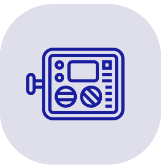
- There are several types of wiring and system faults, including reversed polarity, frayed cables, charge controller problems, inverter failures, and fuse failures.
- System balance and rack mounting are important issues to consider. Drones are also useful in detecting major site issues, such as poor drainage, vegetation management, and soil erosion beneath racks.
The usage of drones equipped with infrared cameras has become increasingly common among solar farm operators and managers to replace manual field inspections that require days to complete.
Nevertheless, the question is will the usage of drone technology serve the purpose?
In order to maximize return on investment, just using drones is more of a partial solution. Machine learning and artificial intelligence (AI) integrated with drones allow us to use the data captured in a much more strategic way today. Futr Energys’ AI solar asset management software (Futr OS) automates the review of both thermal and high-resolution drone-captured imagery, turning this data into actionable reports and delivering increased efficiency.
Analyzing hundreds of megawatts of aerial thermal and color imagery can be achieved at a much faster pace through AI-driven drone technology compared to manual efforts. It is also cost-effective compared to hiring an entire team to analyze data. Apart from the cost efficiency, AI-driven reporting is much more accurate and consistent compared to traditional human efforts.

How Futr OS can help you manage your Solar Assets?
Futr OS eliminates the time-consuming process of turning aerial data into actionable information. The software processes thermal images, color images, and site data generated from aerial solar site inspections with drones and/or manned aircraft. Every discrepancy captured in the inspection dataset is identified, classified, and localized by the software.
Futr OS facilitates:
- Identifying troubleshoots in electrical systems (inverters, combiner boxes, reverse polarity, etc.)
- Defect identification at the string, module, and cell levels (e.g., bypass diodes that have been activated, shattered and soiled modules, etc.).
- Tracking and Racking issues.
- Identifying issues related to the site (e.g. shading, vegetation, flooding, security risks, etc.)


